
Couldn't believe it when I saw this vintage image of a Tom Sawyer map. Hard to believe this beauty was created in an age without the aid of a computer.
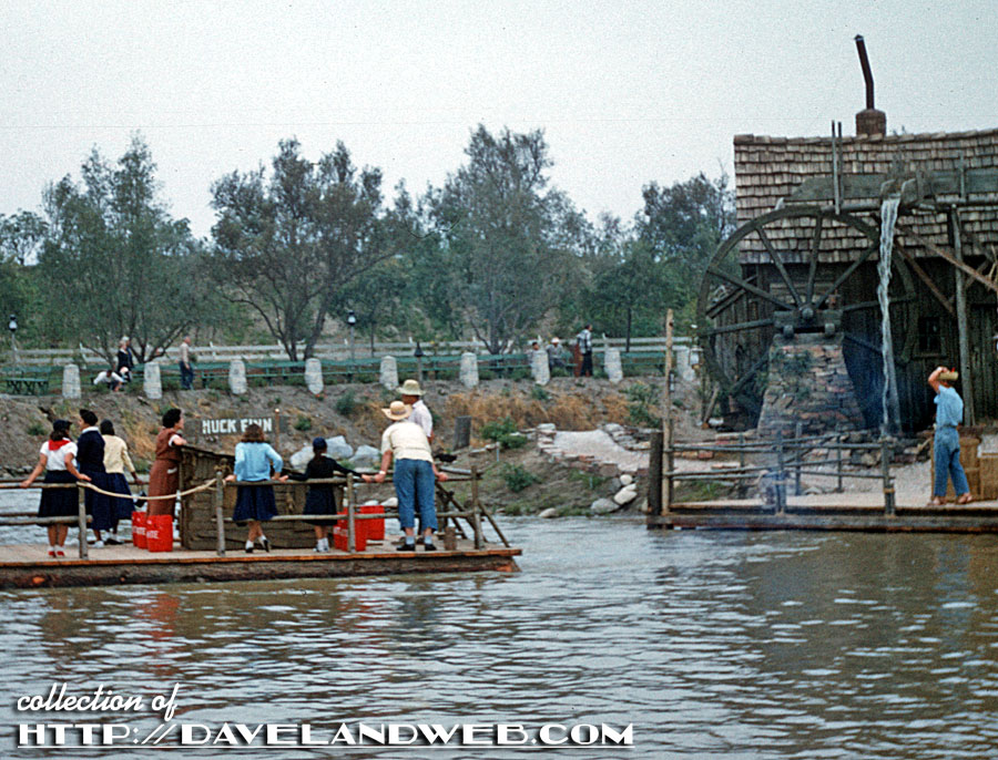
This other previously unpublished shot is from 1956.

Zooming into the raft, we can see the cast members dressed as Mark Twain's famous character.
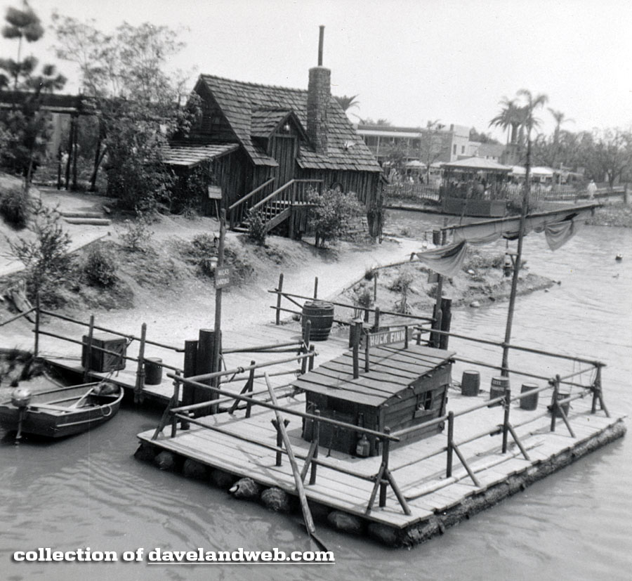
This black and white gem is also from 1956.
More TSI shots at my main website.
Follow my Daveland updates on Twitter and view my most recent photos on Flickr & Instagram.
4 comments:
Thanks so much, Dave. Nice work. That map is just fantastic. I like the remark that names Tom and Huck's treehouse as "Highest point in Disneyland."
That map is amazing. Until now I never knew that existed. I wonder who the artist on that is? It looks sort of like something Herb Ryman would have done but I'm not sure.
During my visits as a young kid in the late 50s, my parents were happy to send me off to TSI for an hour or two. I always came back later than promised...having way too much fun. I'd just wave at them across the river begging for more time! KS
Somewhere, I have (probably "had" by this point) a map of TSI that was that I picked up for free on the island in the mid-'70s. I loved that thing as much as I loved my Sam McKim map.
Post a Comment